With my friend Marie I walked some of the Te Araroa trail, this runs from the top of the North Island (Te Ika o Maui) to the bottom of the South Island (Te Waipounamu).
https://www.teararoa.org.nz/
She has been doing it in stages when she gets the chance and is now in the Auckland area, so I went along for the day.
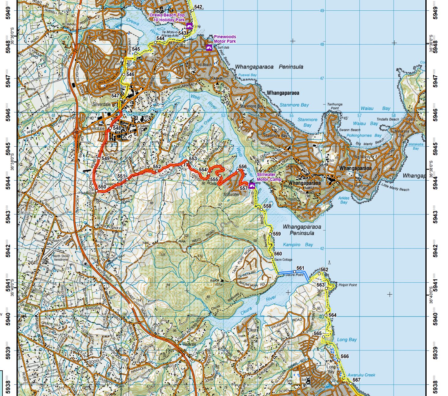
We started at Orewa at about KM 542.5 The Orewa camp ground
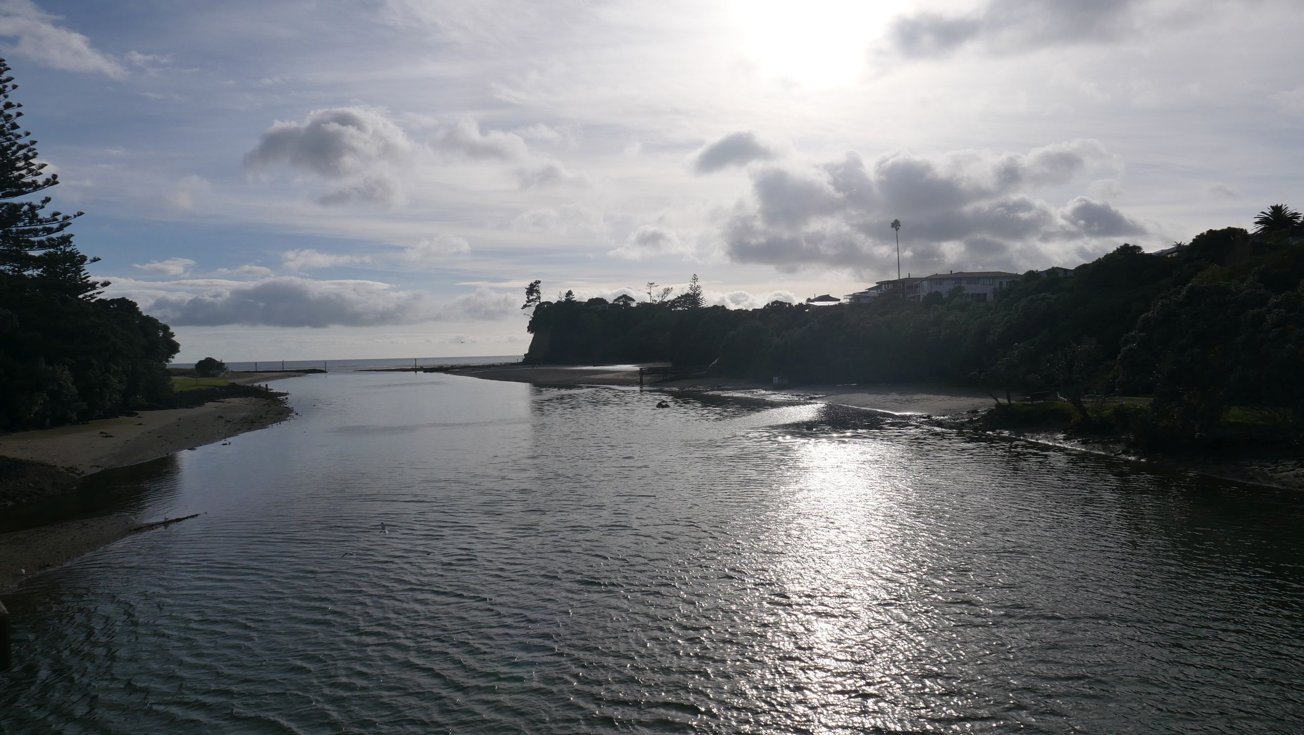
Out across that first bridge
And then it was wandering along some sometimes quite unsafe roads for a while. Eventually though we got to Stillwater
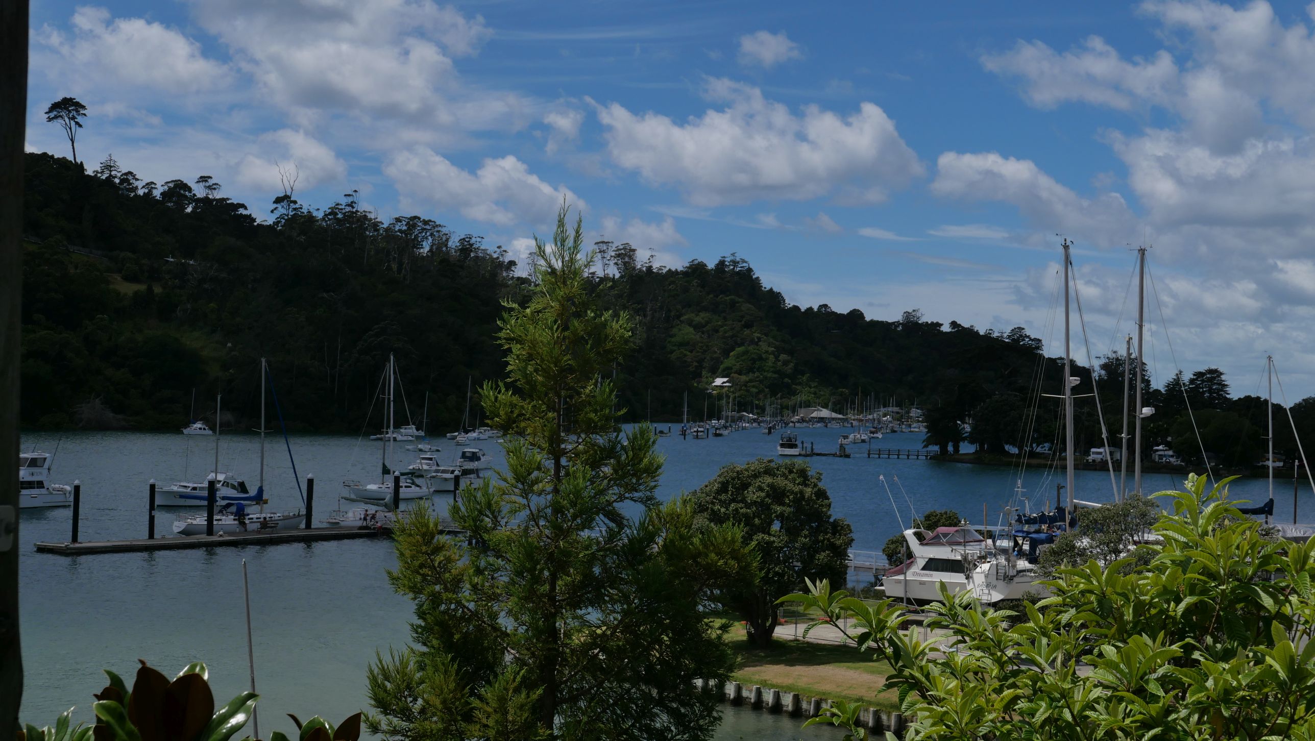
Which looks like a great place, it does have a new highway going in just north of it though.
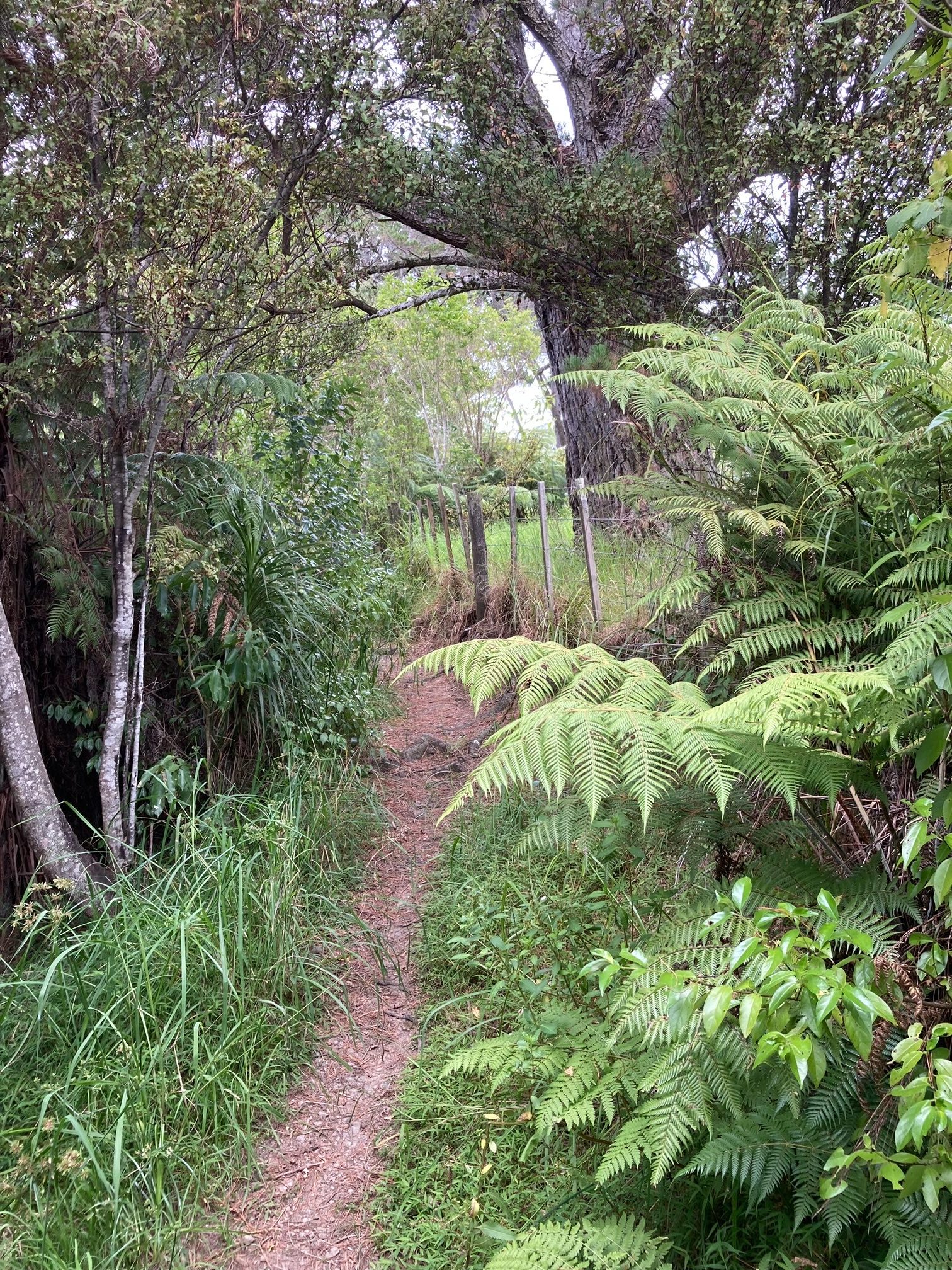
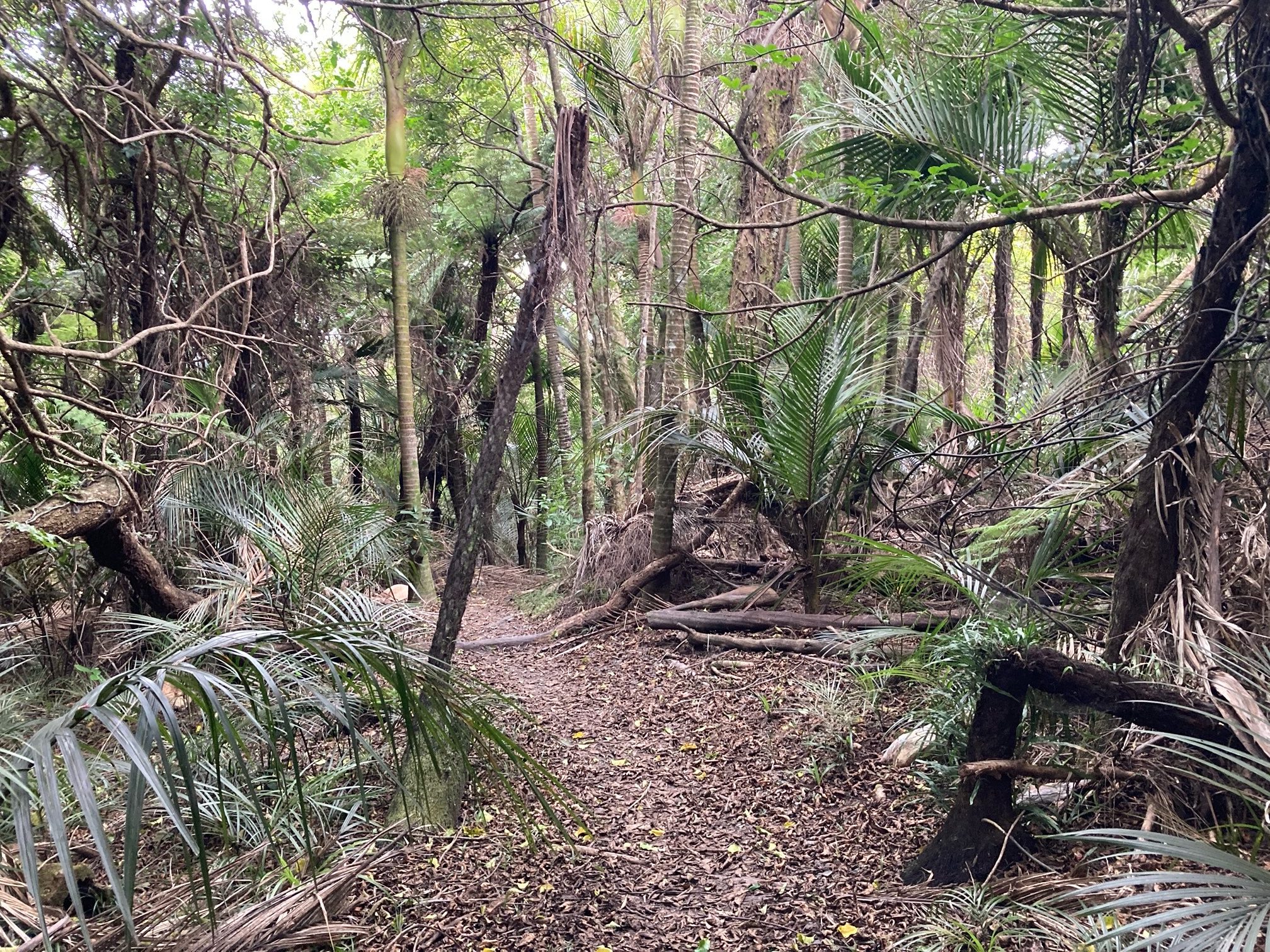
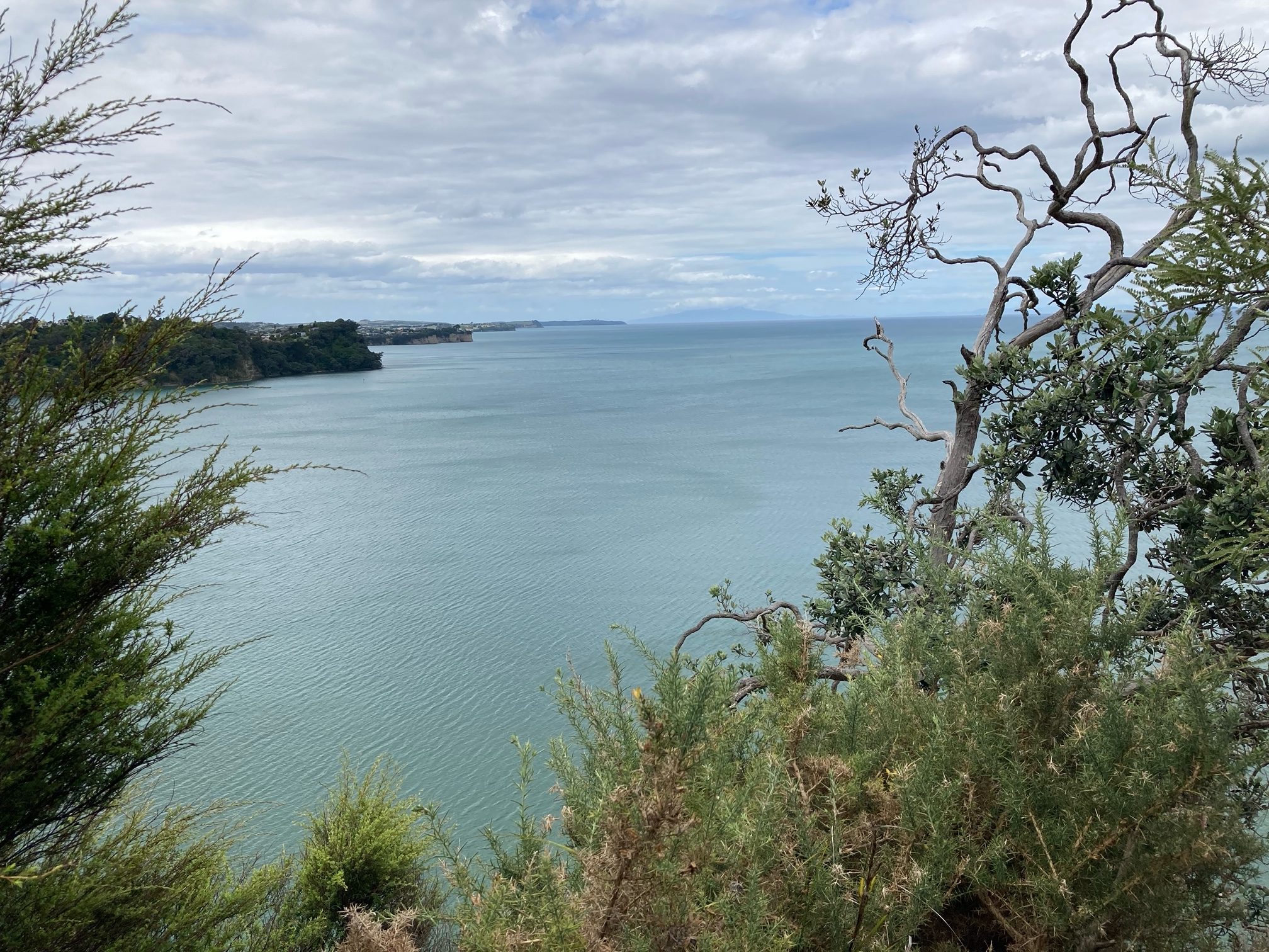
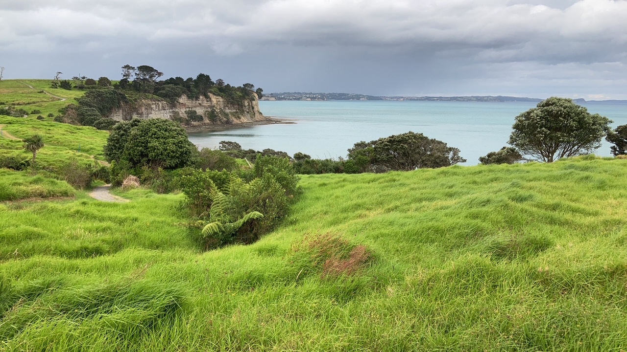
From there, there was nature to walk through rather than highway.
With some great views, below looking out towards Gulf Harbour and Coromandel.
And there our major test
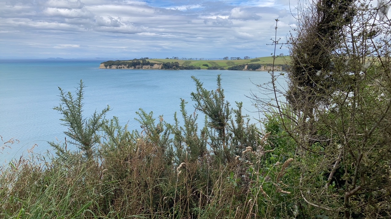
Heading for that beach visible in the middle of the peninsula on the other side of the Okura River.
The Te Araroa website could be clearer, and the local said we needed to wait for low tide, 7:26 pm.
We were there by 5 pm. To wait
We waited diligently, until some time before 6pm we saw a guy running on the distant beach, head into the water and head our way, he swam but was soon running again on the wading bird mudflats.
We intercepted him, he told us it was about head deep and in 20 or so minutes should be fine, and continued on up the coast. Quite an athlete really.
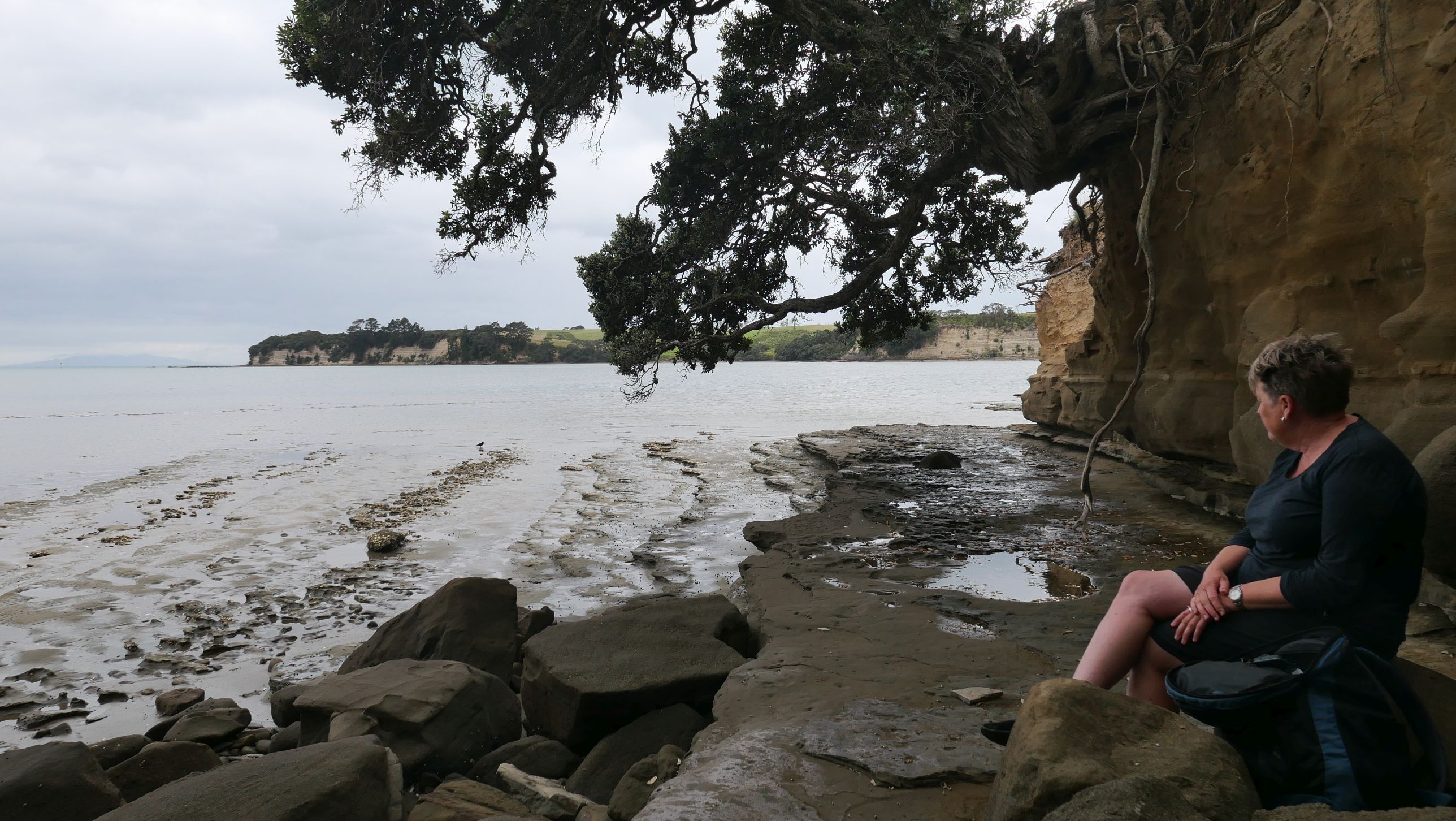
So out we went to the distant pole, knee deep out to there, then into the deep, well you see how deep below in Maries pic.
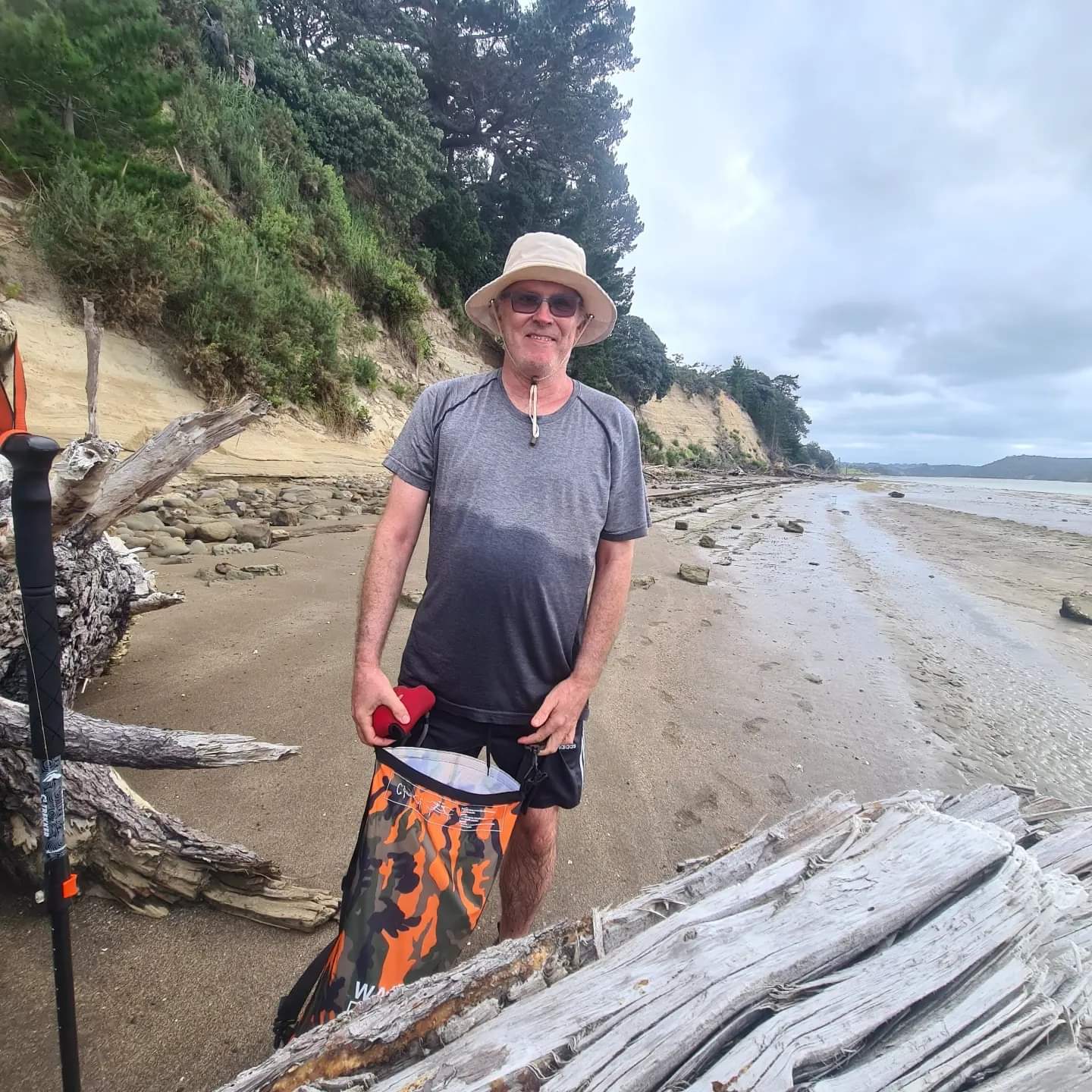
We went round the coastline then, slipping and sliding and rockhopping until Pohutukawa Bay, a male nudist beach apparently (No I didn’t).
Had enough of rocks and slime by then and went the inland route
Quite a day out really, I am suffering, hamstrings and calf muscles, but hope I am game for more next Friday.